
Estimate position of own car to within
5 mm at any time, anywhere.
About GMPS Technology
Autonomous Driving
High-precision, highly reliable autonomous driving
achieved by GMPS (Magnetic Positioning System)
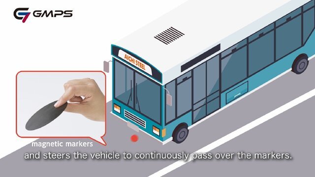
Aichi Steel's GMPS (Global Magnetic Positioning System) is a magnetic vehicle position detection system that detects weak magnetic signals emitted by magnetic markers installed on the ground with an ultra-sensitive magnetic sensor, "MI Sensor", mounted on the sensor module, estimates the position of the vehicle with high accuracy, and supports advanced vehicle control such as automated driving.
In tunnels and underground where GPS does not reach, and in situations such as snow accumulation, fog, and backlight where optical devices struggle, the position of the car is identified at +/-5 mm or less to support safe autonomous driving.
GMPS Technology Principle of Operation
An autonomous driving support system that estimates the position of a car with high accuracy from the weak magnetic force of a magnetic marker laid along a lane using the MI sensor module mounted on the bottom of the car.
The position of the car (X-Y coordinates) is accurately identified by the signals from the magnetic markers with RF-ID on the road surface.
It tracks at speeds of up to 200km/hour.

Applications Field of activity
GMPS can be used in a variety of environments with a single system.

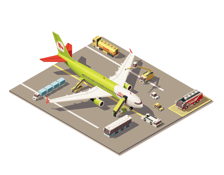
Autonomous AGV operation in airports and harbors is possible by placing markers in a grid shape.
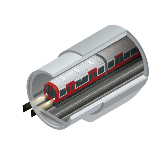
Lower costs can be achieved by switching subway and LRT to buses.
Fully automatic operation is also easy by introducing from docking and by-passing assist.
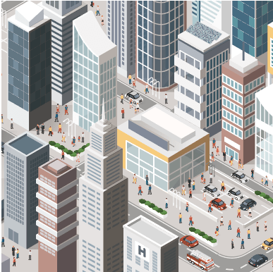
Even in a state where GPS satellites cannot be supplemented or in built-up streets where GPS multipathing occurs, accurate automotive positions can be identified from magnetic markers.
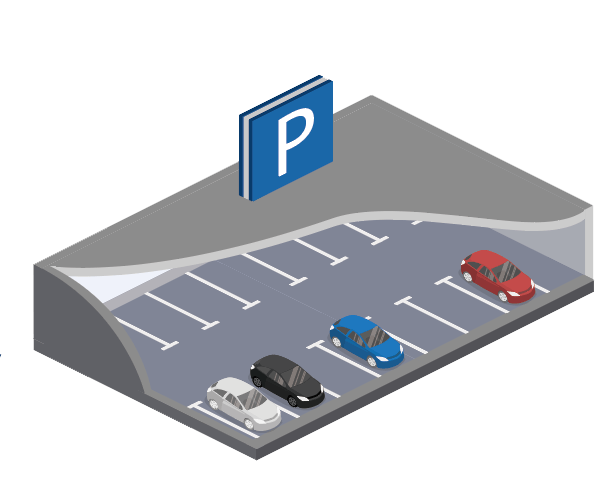
Valet parking becomes easier even in indoor parking lots where GPS signals do not reach. The vehicle moves tracing the specified ID number of the magnetic markers.
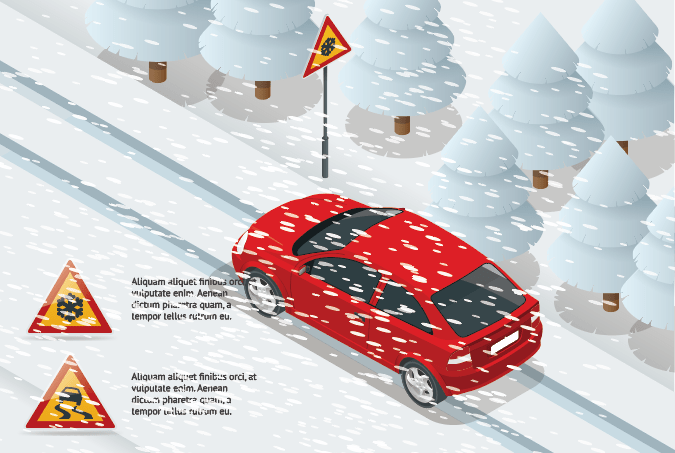
Magnetic markers can reliably locate your car even in environments with snow or fallen leaves that make it impossible to read white lines. You can also identify your car's position in mist where Lidar doesn't work precisely.
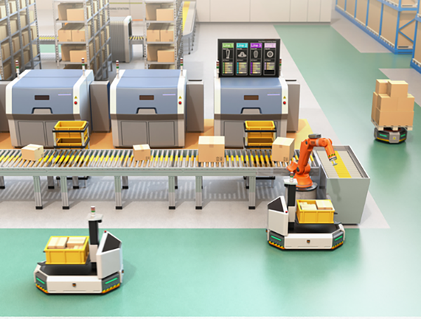
This facilitates the automatic operation of distribution vehicles on the factory premises.
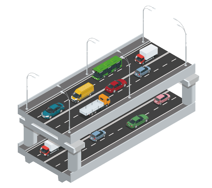
Accurate automotive position estimation is possible even in tunnels or under elevated tracks where GPS signals cannot be obtained.
Introductory video Video Introduction
Demonstration and Social Implementation
The effectiveness of GMPS has been confirmed by conducting demonstration tests and social implementations on public roads around the country with various partners, including the Ministry of Land, Infrastructure and Transport.
■ List of demonstration tests and social inplementations
-
#33January 2023 Around Takahata town hall, Takahata Town, Yamagata Prefecture [Sponsor]Ministry of Land, Infrastructure, Transport and Tourism YouTube Video
Low speed driving on snowy road by green slow mobility
-
#32December 2022 Kure town areas, Kure City, Hiroshima Prefecture [Sponsor]Kure City
Utilized in GPS non-delivery areas
-
#31December 2022 Kesennuma Line BRT Yanaizu- Rikuzen Yokoyama Station, Tome City, Miyagi Prefecture [Sponsor] JR East
First social implementation of GMPS in Japan
-
#30October 2022 AEON Mall Tokoname - Chubu International Airport, Tokoname City, Aichi Prefecture [Sponsor] Aichi Prefecture YouTube Video
First in Japan to run on toll motorway
-
#29August 2022 Ekawasaki Station and Michi no Eki Yotte Nishi Tosa, Shimanto City, Kochi Prefecture [Sponsor] Ministry of Land, Infrastructure, Transport and Tourism YouTube Video
High-precision within ±100 mm with GMPS (only one sensor module) and IAMU only
-
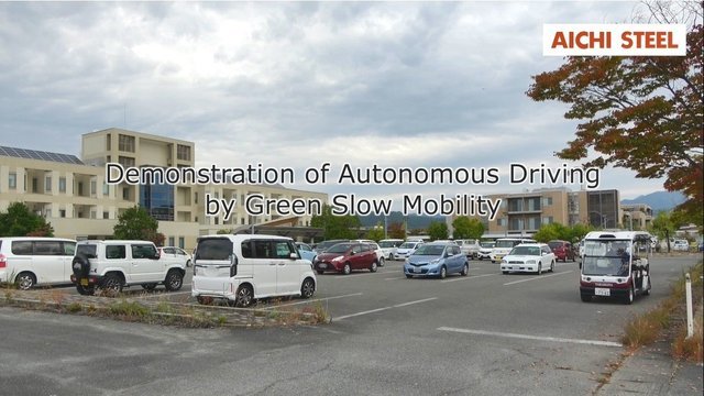
#28November 2021 Michi-no-Eki Takahata Takahata Town, Yamagata Prefecture [Sponsor] Ministry of Land, Infrastructure, Transport and Tourism YouTube Video
Low speed driving by Green Slow Mobility.
-
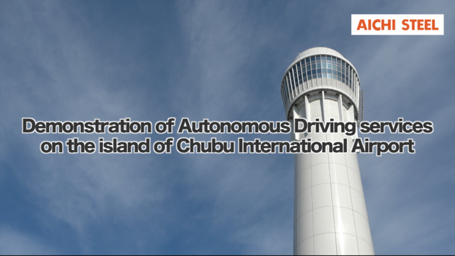
#27November 2021 Chubu International Airport Island Tokoname City, Aichi Prefecture [Sponsor] Aichi Prefecture YouTube Video
Installing magnetic markers every 10m on straight road.
-
#26September 2021 Kesennuma Line BRT Yanaizu- Rikuzen Yokoyama Station Tome City, Miyagi Prefecture [Sponsor] JR East YouTube Video
Passing each large bus on roads exclusively for buses.
-
#25February 2021 Yokohama City, Kanagawa Prefecture [Sponsor] Ministry of Economy, Trade and Industry
Sustainable transport services in suburban residential areas in the Hill area of the Tokyo metropolitan area.
-
#24February 2021 Kesennuma Line BRT Yanaizu- Rikuzen Yokoyama Station Tome City, Miyagi Prefecture [Sponsor] JR East
Large buses run steadily at a maximum speed of 60km/h.
-
#23February 2021 Hamamatsu SA and Enshu Morimachi PA Hamamatsu City and Enshu Mori Town, Shizuoka Prefecture [Sponsor] Ministry of Economy, Trade and Industry YouTube Video
Track-following unmanned fleet running on highway SA/PA and ramp-ways.
-
#22December 2020 Chubu International Airport Island Tokoname City, Aichi Prefecture [Sponsor] Aichi Prefecture
Drive level 4 through the restricted area
-
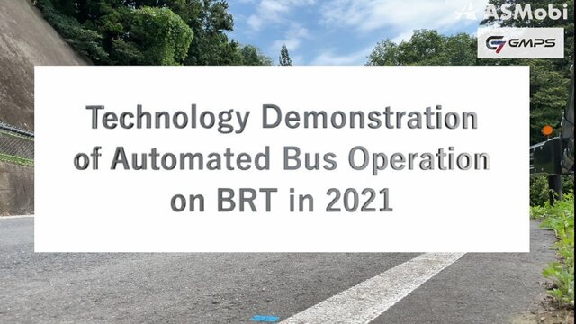
#21December 2020 Hitachi City, Ibaraki Prefecture [Sponsor] Ministry of Economy, Trade and Industry
Implementation of Automated Drive Buses on BRT Routes.
-
#20November 2020 Kitakyushu City, Fukuoka Prefecture [Sponsor] Ministry of Economy, Trade and Industry
Travel below elevated roads (about 1.3km) where GPS is difficult to reach between airports and railway stations.
-
#19October 2020 Chubu International Airport Island. Tokoname City [Sponsor] Aichi Prefecture YouTube Video
Running on railway bridges or terminal buildings where GPS cannot reach
-
#18August 2020 Haneda Airport, Ota-ku, Tokyo [Sponsor] Cabinet Office
"Steady driving at a maximum speed of 60km/h while performing precision docking control, lane change, and right/left turn"
-
#17July 2020 Otsu City, Shiga Prefecture [Sponsor] Ministry of Economy, Trade and Industry
Creation of new transport axes and livelihoods at urban centers.
-
#16July 2020 Sanda City, Hyogo [Sponsor] Ministry of Economy, Trade and Industry
Ensuring Intra-Regional Transportation to Improve the Quality of Life in Suburban Residential Areas.
-
#15June 2020 Kashiwa Campus, Tokyo University-Kashiwanoha Campus Station Kawashiwa City, Chiba Prefecture [Sponsor] Kashiwa ITS Promotion Council
Driving on public roads that GPS cannot reach due to street trees
-
#14Feburary 2020 Kesennuma Line, Tome City, Miyagi Prefecture BRT Yanaizu-Rikuzen Yokoyama station [Sponsor] JR East
Large buses run steadily at a maximum speed of 60km/h
-
#13December 2019 Shibukawa City, Gunma Prefecture [Sponsor] Gunma University
"Traveling while performing roadside-to-vehicle communication in which the vehicle receives signal information, etc. from magnetic markers installed on the road surface"
-
#12November 2019 Onagawa Town, Oshika County, Miyagi Prefecture [Sponsor] Miyagi Prefecture
Returning ultra-compact shared electric vehicles to the station by unmanned driving
-
#11June 2019 "Roadside Station Kosmall Taiki" in Taiki Town, Hokkaido [Sponsor] Ministry of Land, Infrastructure, Transport and Tourism
Drive in snow where reliability of on-board cameras is not sufficient
-
#10February 2019 Tama New Town, Tama City, Tokyo [Sponsor] Tokyo Metropolitan Government
Driving on public roads that GPS cannot reach due to pedestrian bridges and street trees.
-
#9January 2019 In an airport restricted area, 4 airports including Haneda airport [Sponsor] Ministry of Land, Infrastructure, Transport and Tourism
Run below the boarding bridge where GPS does not reach in airport restricted areas.
-
#8January 2019 BRT Takekoma Station, Ofunato Line, Rikuzentakata City, Iwate Prefecture [Sponsor] JR East 2019 Special Feature of the Aichi Steel Report
Carried out alternate passage with oncoming vehicles on roads exclusively for buses and precision docking control.
-
#7November 2018 Roadside Station Minami Alps Mura Hase, Ina City, Nagano Prefecture [Sponsor] Ministry of Land, Infrastructure, Transport and Tourism
Traveling in tunnels where GPS signals do not reach or narrow dog-legs with a road width of 4.5m
-
#6October 2018 Part of Hitachi BRT route in Hitachi City, Ibaraki [Sponsor] Ministry of Land, Infrastructure, Transport and Tourism and Ministry of Economy, Trade and Industry
Exclusive bus roads and public roads using abandoned rail lines
-
#5April 2018 Kitakyushu Scientific Research City, Kitakyushu City, Fukuoka Prefecture [Sponsor] Kitakyushu City
Steady running at a maximum speed of 40km/h and control adjustment at the intersection left-turn.
-
#4February 2018 Roadside Station Minami Alps Mura Hase, Ina City, Nagano Prefecture [Sponsor] Ministry of Land, Infrastructure, Transport and Tourism
Traveling in tunnels where GPS signals do not reach or narrow dog-legs with a road width of 4.5m
-
#3December 2017 "Roadside Station Kosmall Taiki" in Taiki Town, Hokkaido [Sponsor] Ministry of Land, Infrastructure, Transport and Tourism 2019 Special Feature of the Aichi Steel Report
Drive in snow where reliability of on-board cameras is not sufficient
-
#2December 2017 Ginowan City, Okinawa Prefecture, Kita-Nakagusuku Village, Okinawa Prefecture [Sponsor] Cabinet Office
"Implemented" "precision docking" "to accurately align with and stop at the bus stop."
-
#1November 2017 Roadside Station “Okueigenji Keiryu no Sato”in Higashi-Omi City, Shiga Prefecture [Sponsor] Ministry of Land, Infrastructure, Transport and Tourism
Drive in mountainous areas where GPS signals do not reach.

Introductory Leaflet
PDF Download(2.26MB)